

You can find on this page the blank map of Argentina to print and to download in PDF. The contours map of Argentina presents the international boundary of Argentina in South America. You can use the vector map of Argentina for personal or educational use.
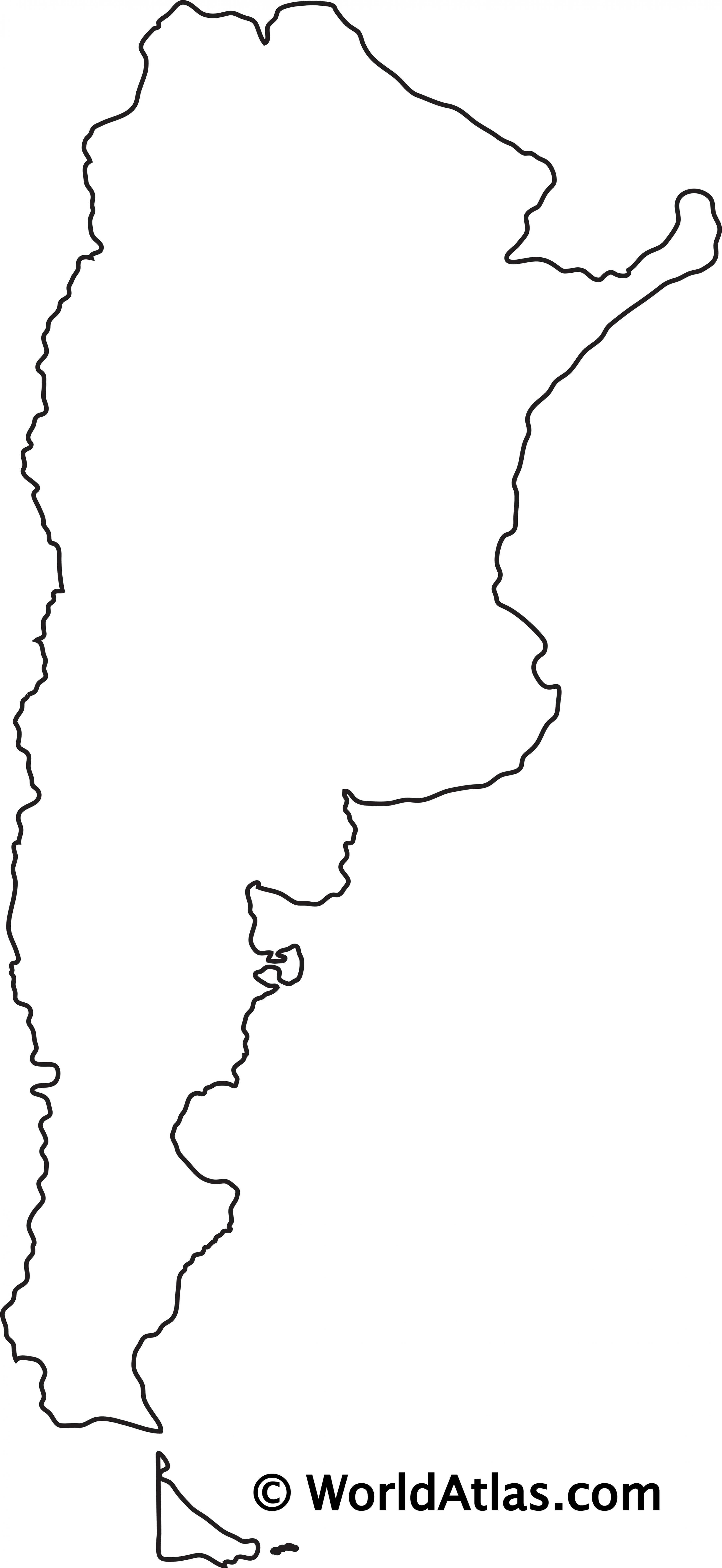
The blank map of Argentina shows the country Argentina empty. This blank map of Argentina will allow you to use the map for personal activities or educational with children for example (drawing). The empty map of Argentina is downloadable in PDF, printable and free.
The above blank map represents Argentina, a country located in southern South America. The above map can be downloaded, printed and used for geography education purposes like map-pointing and coloring activities. The country is in the shape of an inverted triangle with its base at the top. The blank map is used by many people who want to gain knowledge about the county.
Blank map of Argentina; Argentina officially known as the Argentine Republic is a country located in the continent of South America. Argentina covers the southern half of the continent sharing its border with Chile, Bolivia, Brazil, Paraguay, Uruguay, and by the South Atlantic Ocean from the east side while the Drake Passage from the south. The country covers an area of 2,780,400 square kilometers with makes it the second-largest country in South America, the fourth largest in America( North America and South America), and the eighth-largest country in the world. The capital city Buenos Aires is the largest city in the country. The country adopted Spanish as its national language and a majority of the population follow Christianity.
People in Argentina love to play football but it is not the official game of the country. The official game of the country is Pato which is played on horseback which combined the game of polo and basketball (see the Blank map of Argentina). Pato was made official in Argentina in 1953 by Peron. It was banned multiple times before 1953 because the game was very violent, but with time it was made official and is played and watched as one of the favorite time pass games for the people in Argentina.
The Argentina map outline shows all the contours and international boundary of Argentina. This outline map of Argentina will allow you to easily learn about neighboring countries of Argentina in South America. The Argentina contours map is downloadable in PDF, printable and free.
Argentina has both the highest and the lowest points in the Southern Hemisphere. The highest point Mount Aconcagua rise at the height of 6,962 meters in Mendoza while the lowest point is located in Santa Cruz at -105 meters as you can see in Argentina map outlines. Not only this the both the hottest and the coldest temperature that was ever recorded in South America occurred in Argentina.
If we talk about the geography of Argentina, then we find that country is having one of the most biodiverse ecosystems. It is comprised of 2 marine zones,15 continental zones, and you can even witness the most Antarctic zones in its region as its shown in Argentina map outlines. The economy of Argentina is one of the most robust economies in world. Since the country is blessed with huge base of natural resources. The industrial sector is highly diverse and developed even the agricultural sector is making a significant contribution in the exports of the country.
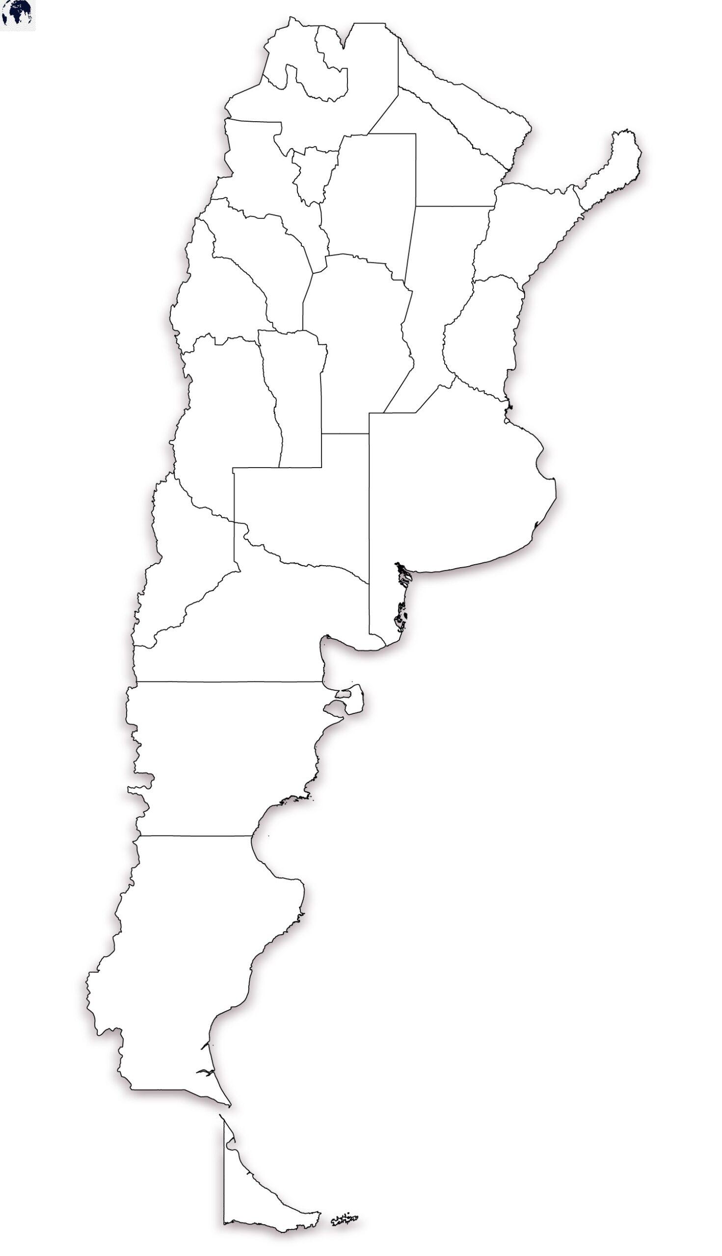
Argentina map outlines depicts the international boundary of the country. The boundaries of the provinces are also marked so that the user gets an idea about the extent of a particular region of the country. The map is a useful learning tool and has been created keeping in mind the specific needs of students. They can draw the various provinces of the country in different colors. This exercise would enable them to identify the geographical extent of a particular province and also its location. The blank map of Argentina is also the perfect tool for geography teachers who can download it for exam purposes. The blank map of Argentina is available in World Mercator projection.

The vector map of Argentina shows entire surface of Argentina empty. This vector map of Argentina will allow you to make changes or add details to the map of Argentina in South America, for personal or educational purposes. The vectorial map of Argentina is downloadable in PDF, printable and free.
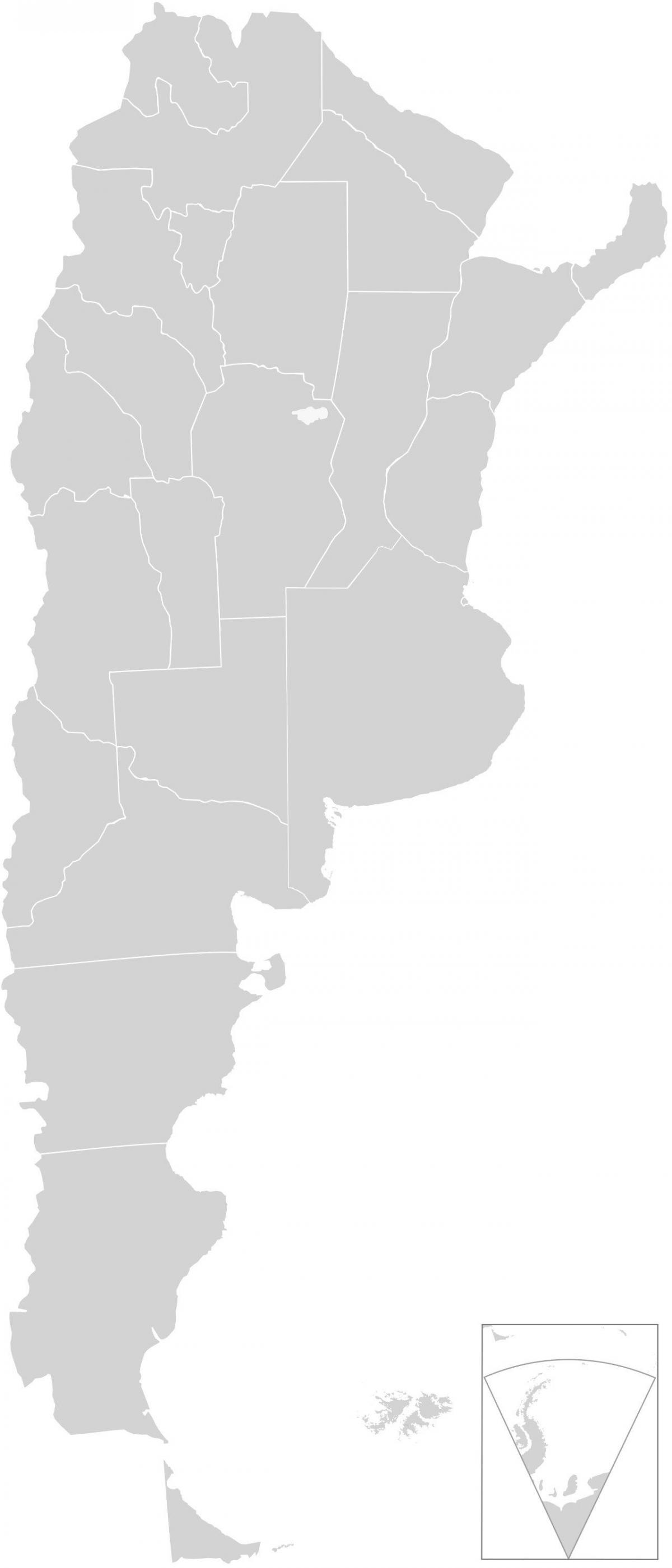
Argentina is shaped like an inverted triangle with its base at the top; it is some 880 miles (1,420 km) across at its widest from east to west and stretches 2,360 miles (3,800 km) from the subtropical north to the subantarctic south as you can see in Argentina map vector. The country is bounded by Chile to the south and west, Bolivia and Paraguay to the north, and Brazil, Uruguay, and the Atlantic Ocean to the east. Its undulating Atlantic coastline stretches some 2,900 miles (4,700 km).
Argentina map vector, which only depicts the international boundary of the country. The map is particularly useful for students. They can draw the provinces of the country in different colors. They can also mark the major cities, main attractions, infrastructure, agricultural and forest areas, physical features and other important landmarks on the map. This map is an incredible learning tool, as it would help students get acquainted with the Argentina. Geography teachers can download the map from the website and use it for exam purposes. The blank map of Argentina is available in World Mercator projection.
Argentina is a country in the southern half of South America on the Atlantic Ocean. The land has a total area of 2,780,400 km² (1 m mi²) and a total coastline of 4,989 km (3,100.0 mi) as its shown in Argentina map vector. This land area is approximately 400% of the area of Texas. The Argentine Sea, off the Atlantic coast of Argentina. The Argentine Sea (Spanish: Mar Argentino) is the sea within the continental shelf off the Argentine mainland.